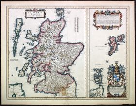
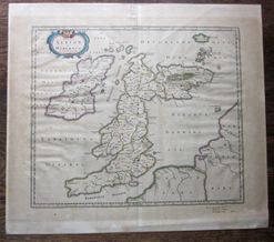
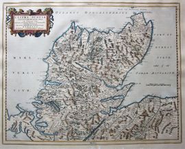
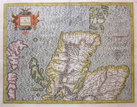
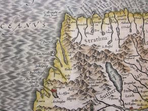
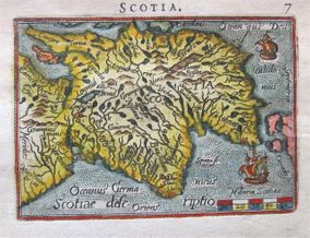
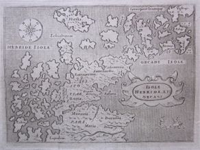
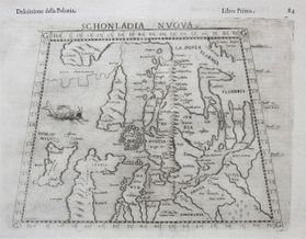
Some Interesting Early Maps of Scotland.
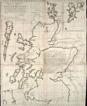
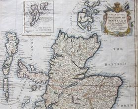
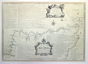
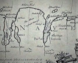
For anyone interested in collecting old maps, Scotland provides a particularly rich seam as it took such a long time to establish the true shape of the country. From the earliest impressions based on designs of Ptolemy, with the country skewed out to the east, through to the maps of the 19th century, there were errors affecting the basic outline of the country, let alone the details in the interior. No other part of Britain took so long to be surveyed in detail, and the terrain of the Highlands ensured that none but the most organised and determined of cartographers could improve on previous efforts.
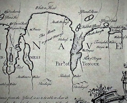
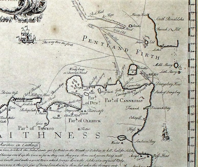
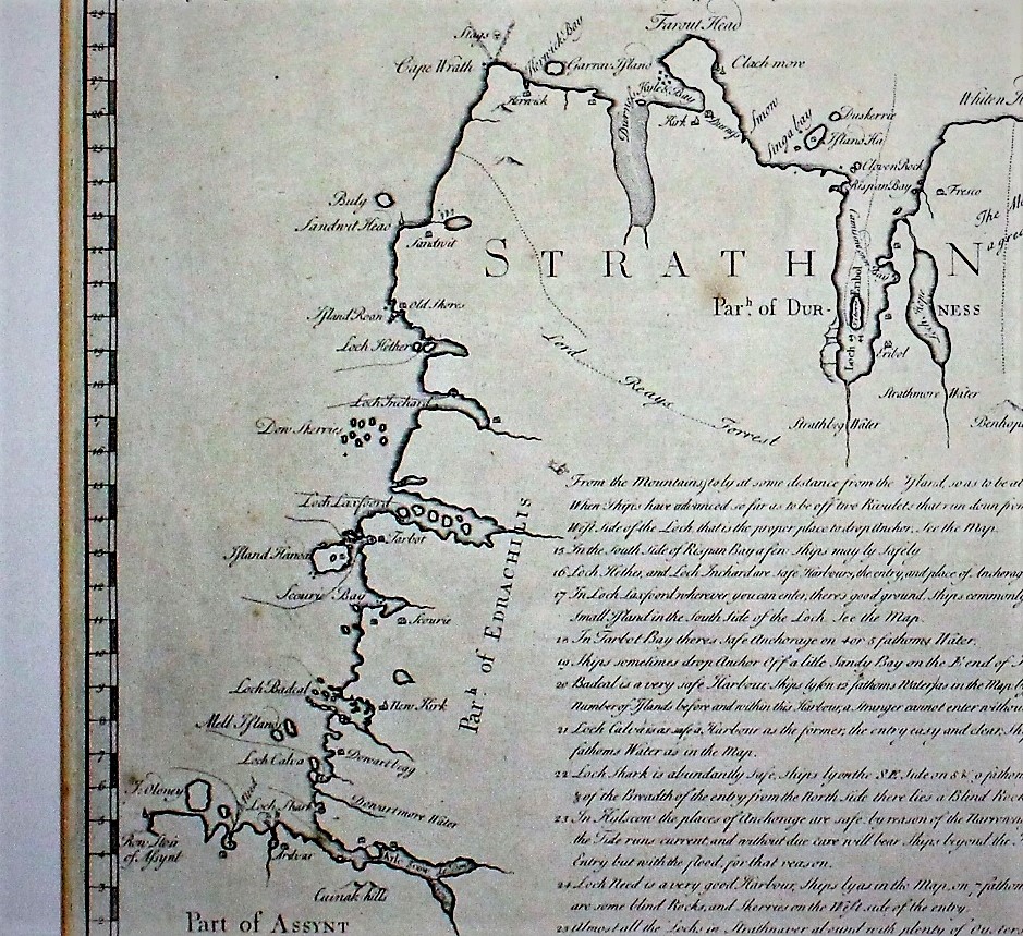
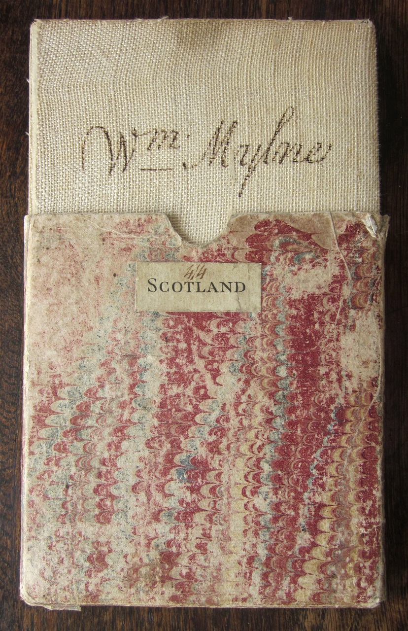
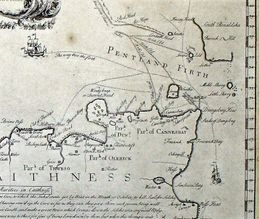
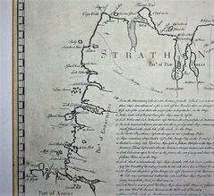
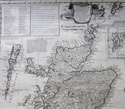
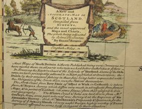
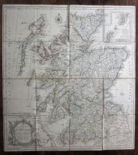
My book The Immeasurable Wilds studies these cartographers in some details - Pont, Bryce, Roy, through to Dorret and Arrowsmith and beyond. On this page I offer examples of maps from my collection, whilst reminding you of the superbly displayed examples you can find on the National Library of Scotland's website.


